Support Central
Coordinate reality capture alongside your 3D models.
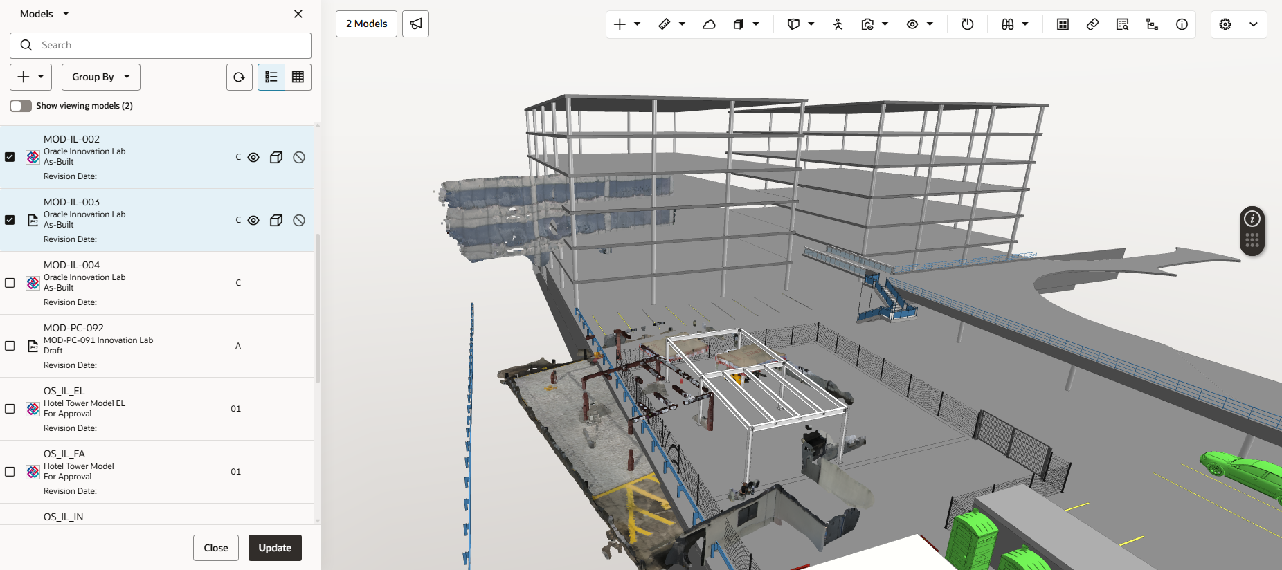
Aconex Models helps you to visualise actual site conditions from point cloud files and compare them with the 3D model. This is helpful during a design validation process to ensure the architect's intent aligns to what is being built on site. Additionally, the alignment tool positions the point cloud data with the model, helping you to identify defects or clashes early.
Things to note: